At the water’s edge stands a second world war pillbox, a magnet for hundreds of roosting birds. A flock takes to the wing and, through my binoculars, I make out curlew and brent geese; in the distance a pink container ship slinks slowly along the horizon. There’s no one around, the clarity of the cold morning light on the Thames adding to the sense of remoteness.
I’m on the Isle Grain, at the tip of the Hoo peninsula in north Kent, being introduced to the newest section of the England Coast Path, officially open today (12 January). This 47-mile stretch runs east from the village of Grain to Woolwich and forms part of, eventually, a 2,800-mile national trail around the coast.
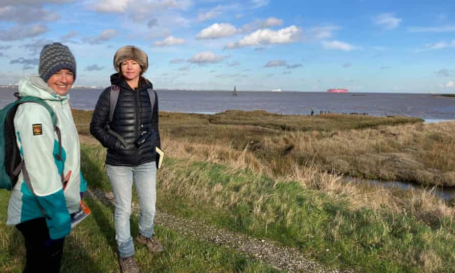
“It’s exciting because it opens up parts of the Isle of Grain that the public couldn’t access before,” says my guide, Jenny Bowen from Natural England. “It also links with the existing Thames Path, which runs from the Cotswolds to central London, meaning there’s a ‘source to sea’ walking route along our most-famous river for the first time.”

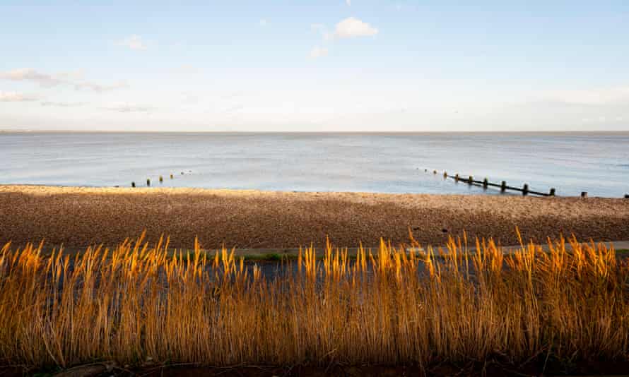
Our walk starts at the tiny hamlet of Grain, where the views stretch across the confluence of the Thames and Medway to Southend, sparkling in the winter sun, and Sheerness on the Isle of Sheppey. As we follow the route slightly inland, we pass a smattering of houses, a church and a pub before a new path leads up on to the sea wall.
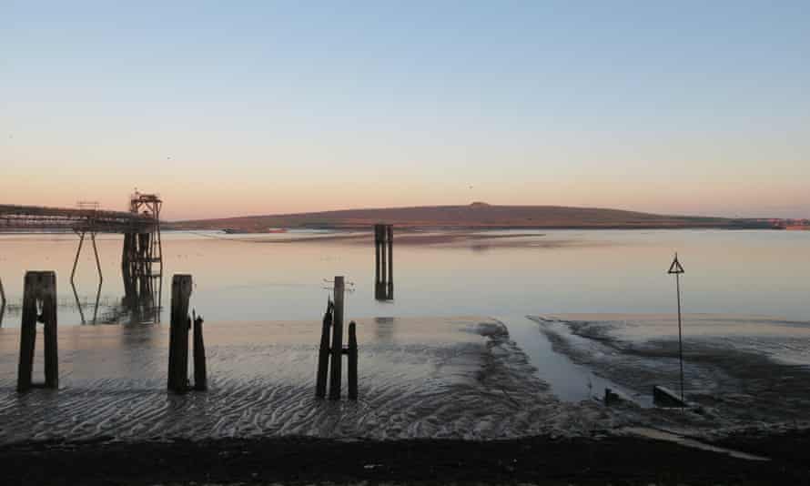
The Isle of Grain is not an island at all, but a vast, open expanse of pancake-flat saltmarsh, peppered with signs of industry and a defensive maritime history. Yantlet Creek meanders to our right, edged by reeds; ponies and sheep wander some of the most remote grazing land in the south-east; low tide reveals glistening mudflats stretching to the horizon. To the left, pylons and silhouetted gas works add a grittiness to the scene.
We stop to picnic on one of the tiny beaches dotted along the river, a boundary stone nearby marking the end of the Thames estuary. Opening the new trail has been a long process, Jenny and her colleague Francesca Sanchez tell me, involving environmental assessments and countless meetings with landowners and local councils. While some of the route follows existing paths, access to some private land has been granted for the first time, eroded footpaths have been rebuilt and culverts added to drain waterlogged land.

“It’s a complicated process, weighing up different interests – but the goal is to always keep as close to the coast as possible, without disturbing wildlife,” says Francesca.
As we wander on we meet a local couple out for a walk – keen birders excitedly pointing out a rarely seen glossy ibis. The whole area is important for winter birdlife and pockets are protected. New signs tell walkers what to look out for, and our sightings include black-tailed godwit, ringed plover and dunlins, though marsh harriers remain elusive.
The path sweeps close to the water once more as we pass the deserted Allhallows Holiday Camp. From here it’s a wild 12-mile stretch to the RSPB’s Cliffe Pools reserve, with no villages, car parks or connecting footpaths on the way.
Further west the path takes walkers to Gravesend, with nearby Shornemead fort, installed to protect London in the 1860s, and the option of a ferry across to Tilbury and the Essex coastal path. Highlights for those who continue to Woolwich include the Swanscombe peninsula – newly designated a site of special scientific interest – and the Queen Elizabeth II bridge (the busiest estuarial crossing in Europe). From Woolwich, the Thames Path continues to the Cotswolds – meaning a 232-mile path now runs from its source to the North Sea.

The England Coast Path itself will eventually be the longest coastal walking route in the world. Of the 67 sections, 16 are now open, with more to follow this year, and proposals for 65 stretches have been submitted to government for approval (just over 99.4% of the route).
Our limited time means further exploration must wait for another day and we turn back towards Allhallows. The cries of seabirds fill the air, the incoming tide laps the shore – and this wild, forgotten edge of the country quietly bewitches with a peculiar beauty all of its own.
The Grain-Woolwich stretch of the England Coast Path is easily accessed via public transport. Stations along the route include Woolwich Arsenal, Erith, Slade Green, Greenhithe and Gravesend. Buses connect Grain and Allhallows to Rochester. For moreon the walking route, visit nationaltrail.co.uk
 Top Naija News: Nigerian News, Breaking News Nigeria and World News Top Naija News is a daily news publication in Nigeria, delivering the latest breaking news in Nigeria and around the world.


